
lots road south
- 2022
- london
- masterplan
mixed-use development with 5,000m2 of employment and commercial space with residential over

a new mixed-use creative quarter reinstating the Chelsea Creek, creating a new focal point for the community
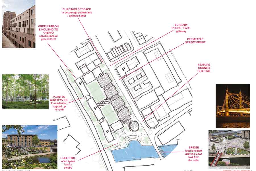
A city is defined by its public spaces. Priority must be given to the design of the public realm. From the front door to the street, to the square, the park and beyond, designs should create a hierarchy of public spaces that relate to buildings and their entrances, to encourage a sense of safety and community.
The Context: Water
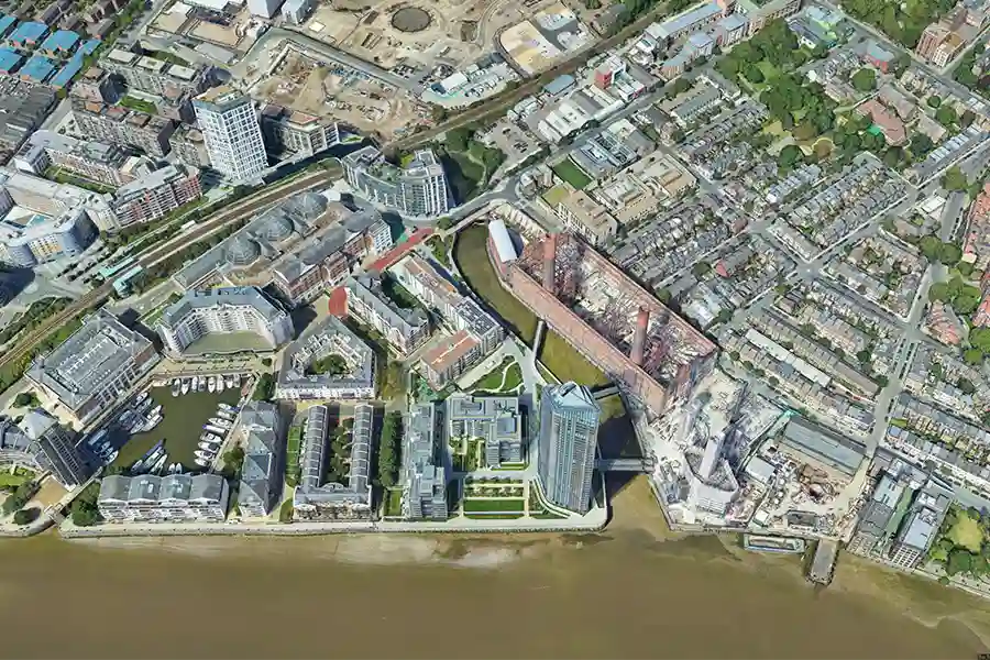
At a strategic bend in the River Thames, where the long straight stretch of the embankment bends south, the meandering creek connects into the network of streets.
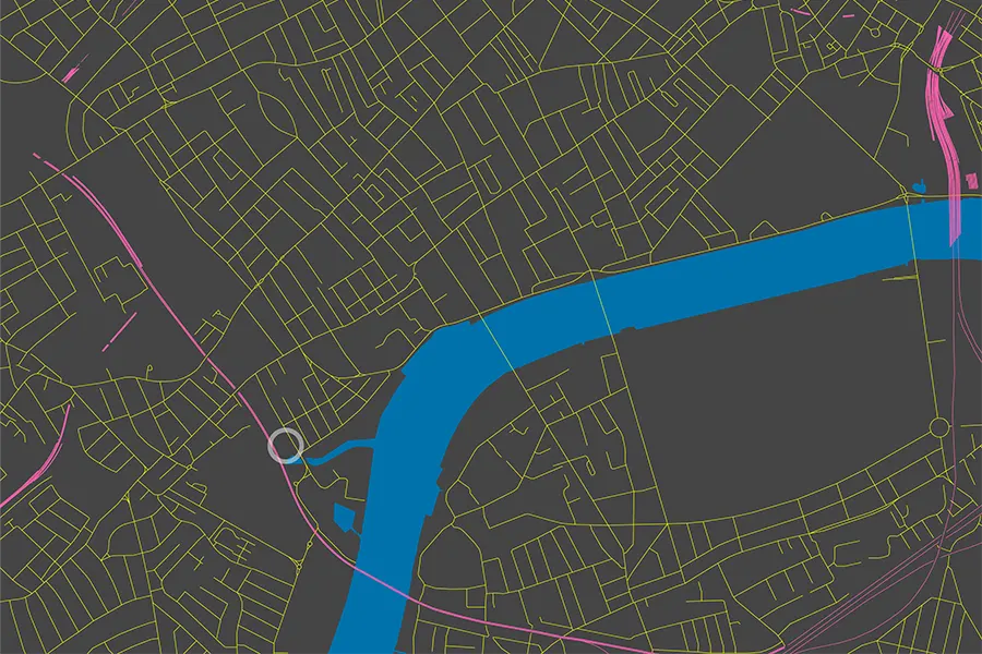
The site sits exactly where the creek meets this victorian grid of streets.
The creek forms a natural barrier to the south and the west of the site, but is also a form of connection.
Originally a tidal tributary running from Kensal Green down to the Thames, the water course was adapted into a sewer and railway line from the early 19th century to serve the exponential expansion of the city.
The lower part of the creek was developed in 1824 into the Kensington Canal, connecting Kensington High Street with the Thames. At a width of 30 metres, the new canal was designed to bring coal and building materials into west London for the housing boom.
From 1859 the canal was converted into a railway linking Willesden Junction and the north with Clapham Junction and the south.
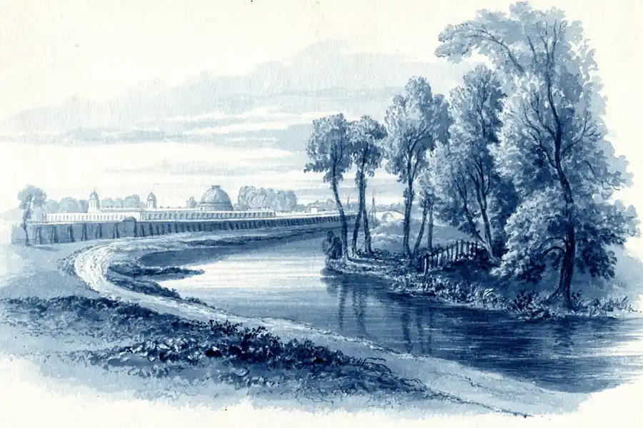
A mid-19th Century view of the Kensington Canal by William Cowen, looking south with Brompton Cemetery in the background and the Fulham Road bridge in the distance, the 'Stamford Bridge'.
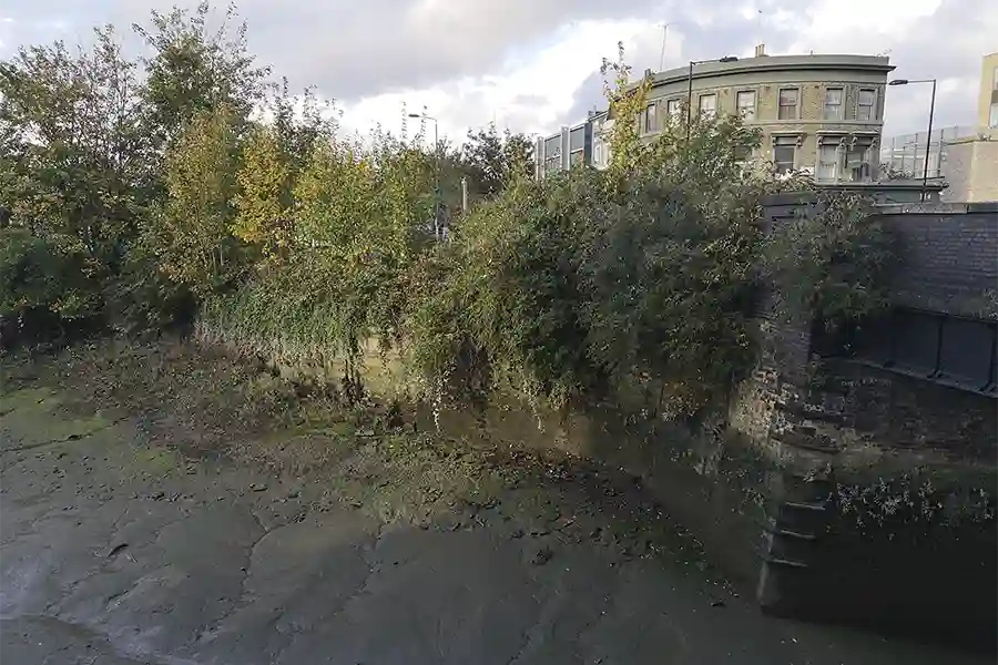
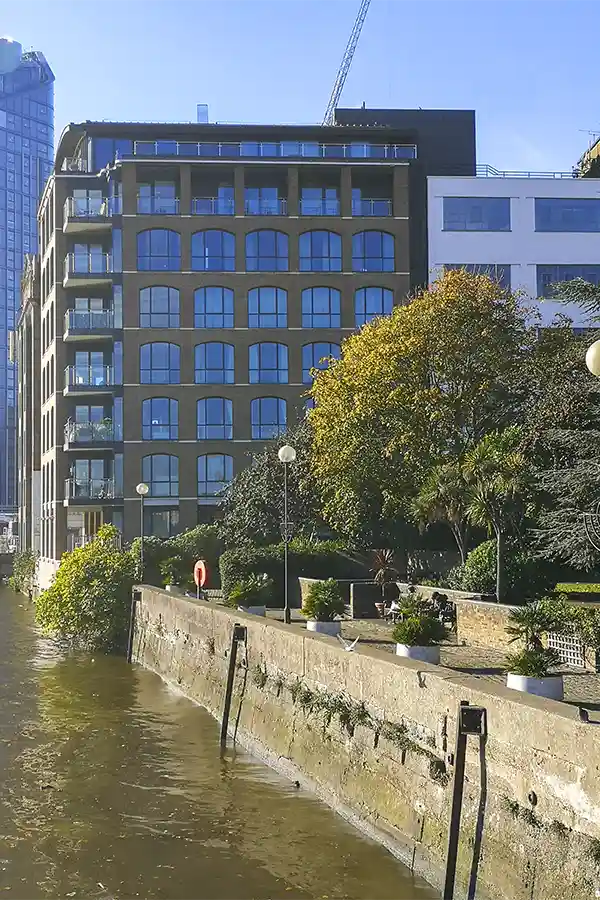
A view of Chelsea Creek today, with the original river wall that can be seen in the Victorian maps. This wall probably continues still intact today beneath the car pound and an access road that sit further up on the site.
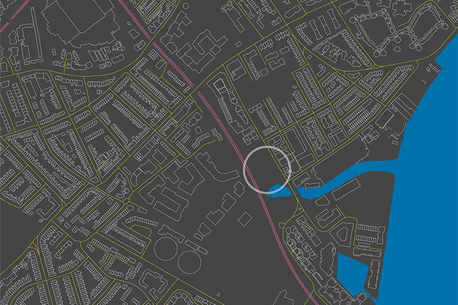
This creek basin is almost entirely hidden from public view.
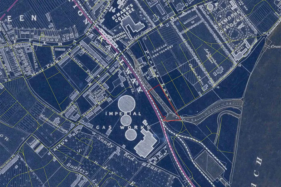
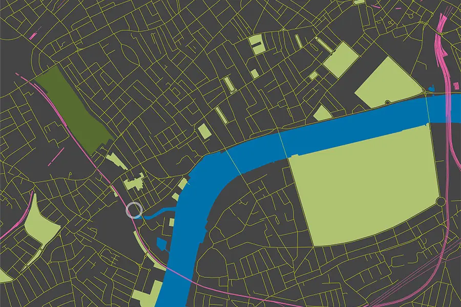
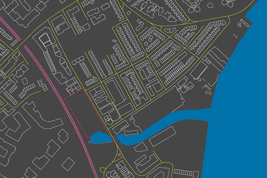
The original route of Counter's Creek / the Kensington canal can be seen running through the centre of the Lots Road South site (shown here in a red outline) on this overlay with an 1862 map of the area.
This unseen line today still marks the boundary between the two London boroughs - Kensington & Chelsea with Hammersmith & Fulham.
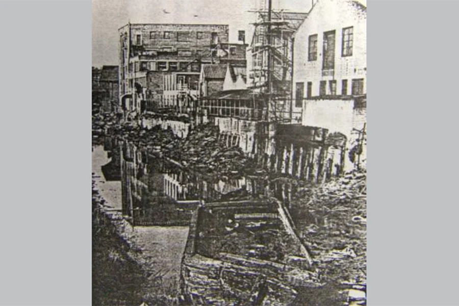
A 1970 view of the Kensington Canal, looking north just behind the Lots Road warehouses. Many of the same buildings can be seen today.
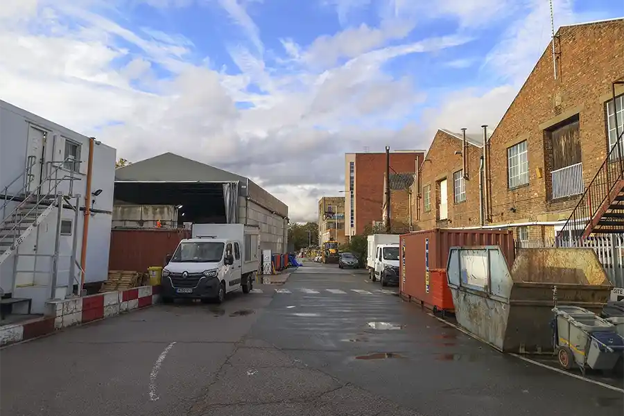
The same view today, with many of the same buildings. However the waterway has been infilled to create a minor access road.
Today the creek is a hidden opportunity within the dense development of the area, to root new buildings within a sense of place, and to make a meaningful connection with the natural environment.
After all, the Thames is the reason London is here.
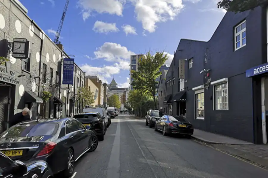
The Chelsea Creek is not visible from the existing road bridge.
From the road one is not aware of the water at all, only tarmac and urban brick.
The bridge over the creek should be a local landmark, both as a structure and as an opportunity to reveal the creek that it is crossing, to connect us back with the landscape.

The Context: Green
The city has swallowed up the green spaces, constrained the Thames and buried its marshlands and tributaries.
The Context: Uses
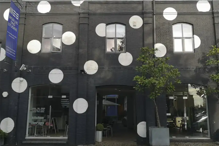
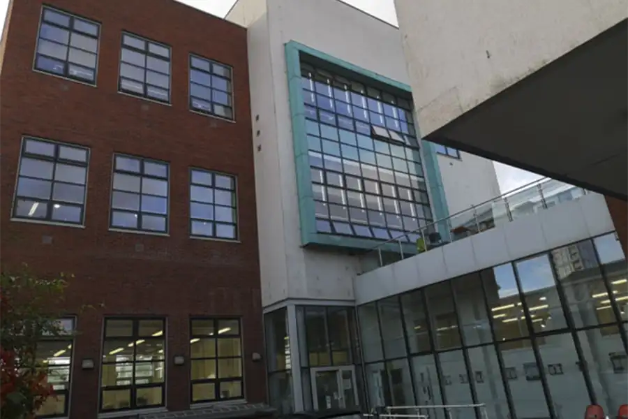
Key to the character of Lots Road are the employment uses, such as Worlds End Studios, the Auction House as well as the Heatherley School of Fine Art.
Lots Road South
The Lots Road South site, shown in a red outline, is approximately 9,000sqm. Of this, approximately 5,800sqm could be built on.
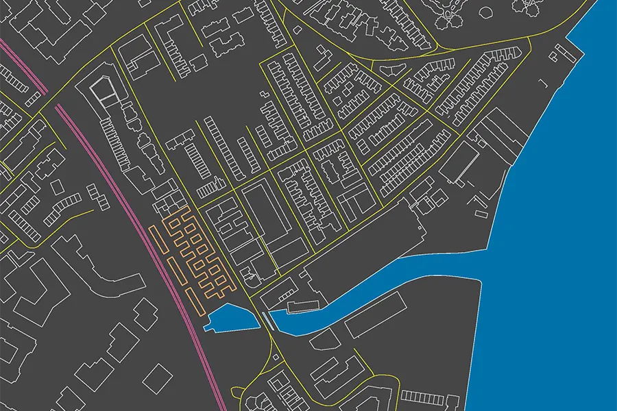
Draft capacity study based on the typology of the courtyard arrangement of Worlds End Studios, located just opposite.
Each floor level shown here consists of approximately 3,500sqm.
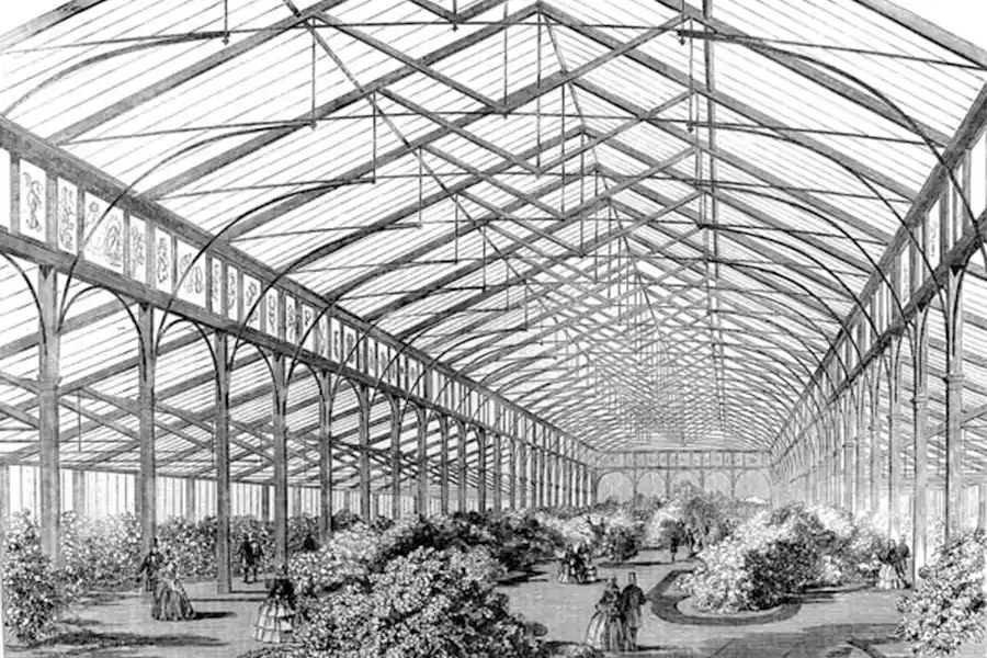
Historic Context: Cremorne Gardens
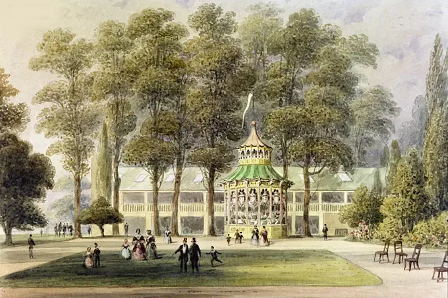
1852 - the Bandstand at Cremorne Gardens, by TH Shepherd
1858 - the Ashburnham Pavilion at Cremorne Gardens
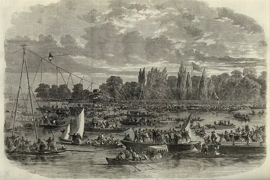
1861 - the Female Blondin crossing the Thames from Battersea to Cremorne on a tightrope
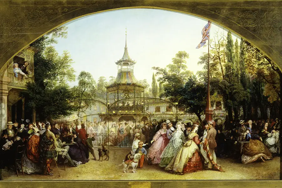
1864 - the Dancing Platform at Cremorne Gardens by Phoebus Levin, with the Pagoda at centre where the orchestra played
1865 map of the area, showing Cremorne Gardens and the nurseries, shortly before Bazalgette built the Chelsea Embankment.
The Cremorne Gardens opened in 1846.
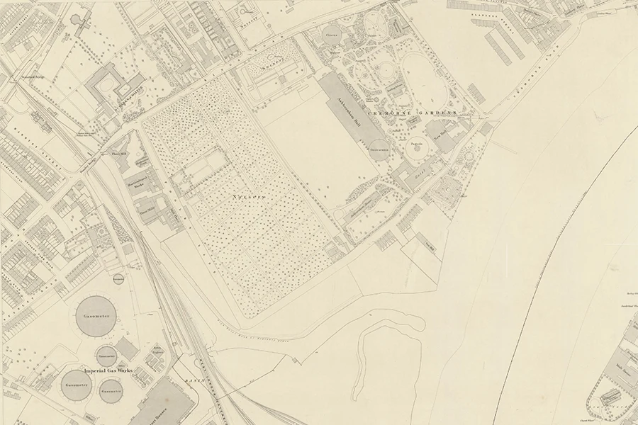
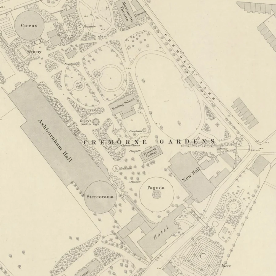
A closer look at Cremorne Gardens, taken from the 1865 map.
Alongside the Ashburnham Hall and Hotel, attractions include:
- The Maze
- Marionette Theatre
- Firework Gallery
- Bowling Saloon
- Circus
- Fernery
- Diorama
- Gypsy's Grotto
- Shooting Gallery
- Pagoda
- The Bowers
- Chinese Games
- the Stereorama
- various fountains
Credits
- Architect - Nicholas Zervoglos Architects